The store will not work correctly when cookies are disabled.
Cookie
This website requires cookies to provide all of its features.
For more information on what data is contained in the cookies,
please see our
Privacy Policy page. To accept cookies from this site, please click the
Accept button below.
Welcome to our New High Street Books Site! Please Note Accounts created before May 2022 are deactivated. Please Create a New Account and Sign in before you begin.
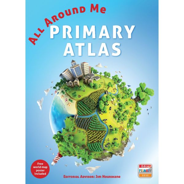
The new All Around Me Primary Atlas is the most up-to-date Primary
atlas on the market and is a great reference atlas and resource for
Geography and related subjects (History and SESE).
Easy-to-use, clear map referencing from Primary pupils
Contains extensive coverage of Ireland
Includes an original and innovative section looking at Ireland
through historical maps and the work of Ordnance Survey Ireland (OSi).
Detailed keys and scale information maps of Ireland, Europe, the World and continents.
Free world map poster included - ideal for any classroom or bedroom wall.
Provides larger-scale maps of countries and regions popular for focus studies.
Presents the latest facts and statistics, enabling pupils to learn about the world today.
The referencing mapping is designed for maximum clarity and
accessibility, and is supported by photographs and data boxes, with
detailed map keys and scale information on each map.
Includes full-colour engaging photographs, OSi maps, satellite images, aerial photographs and diagrams.
Develops pupils' Geography skills, including map-reading skills, the meaning of scale and how to measure distances.
Themes are introduced through scaled maps of Ireland - e.g. rocks, soils, landscapes and people.
Contains information on the solar system, oceans and poles, and world flags.